Lateral Spread East of Lodai
This lateral spread site has a shallow slope (about 0.5 m in 150 m), no free face, and experienced about 25 cm of lateral movement (established from two parallel surveys) towards a shallow drainage depression. Boil material is medium sand (No. 40-60 mesh) with no fines but significant salt content. Much salt came up with sand. Sufficient water came to surface to form a pond in depression near road. Culvert across depression damaged as a result of being located in the compression zone of the spread feature.
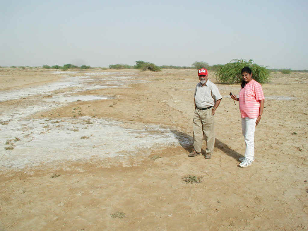
Figure 1. View of lower portion of spread site showing depression with salt residue from sand boil ejecta flow. Sand boil in foreground. (2/14/01 15:53:38, N23.40815 E69.96235).
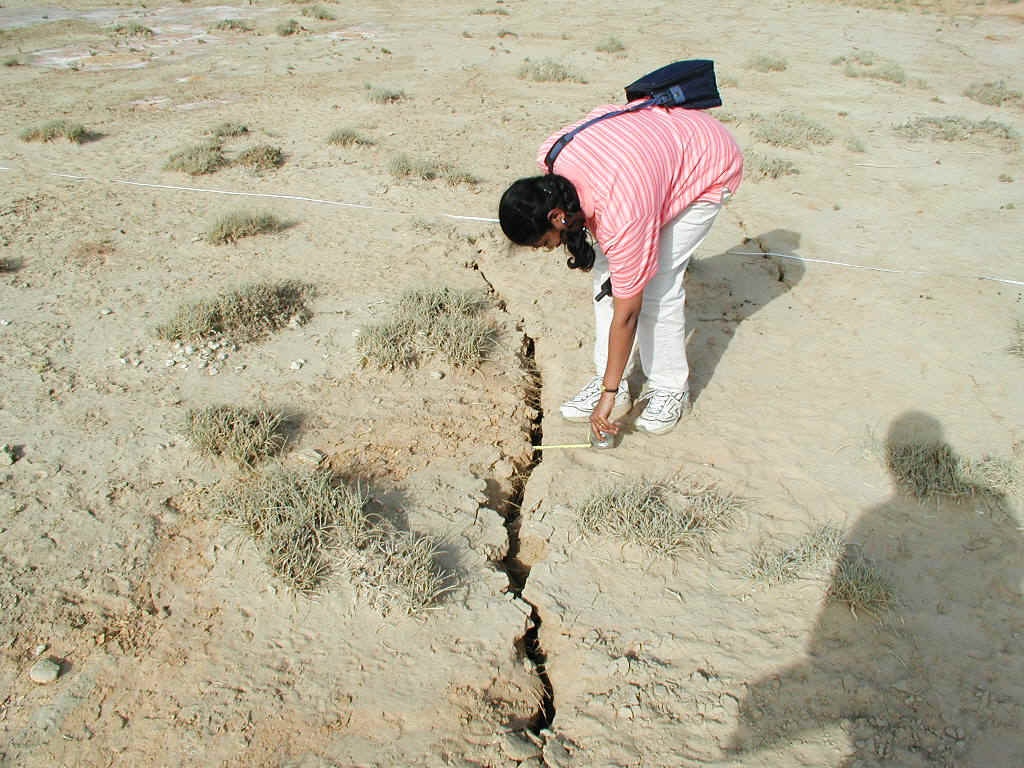
Figure 2. Ground crack in extensional portion of spread. Most of the extension was
accommodated over about 20-30 m and had no boils. Boils were typically observed near the
base of the spread (2/14/01 16:20:09, N23.40815 E69.96235).
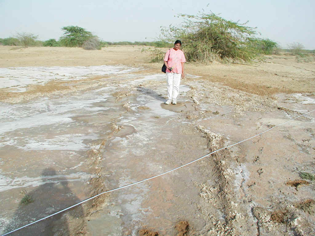
Figure 3. Compression features near toe of spread. (2/14/01 16:43:13, N23.40815
E69.96235).
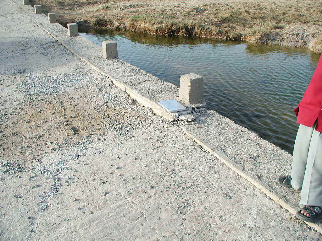
Figure 4. Damage to culvert associated with compression at toe of spread feature. The pond beneath the culvert was not present before the earthquake and is believed to be ejecta fluid from the region. (2/14/01 17:17:25, N23.40815 E69.96235).