|
Introduction
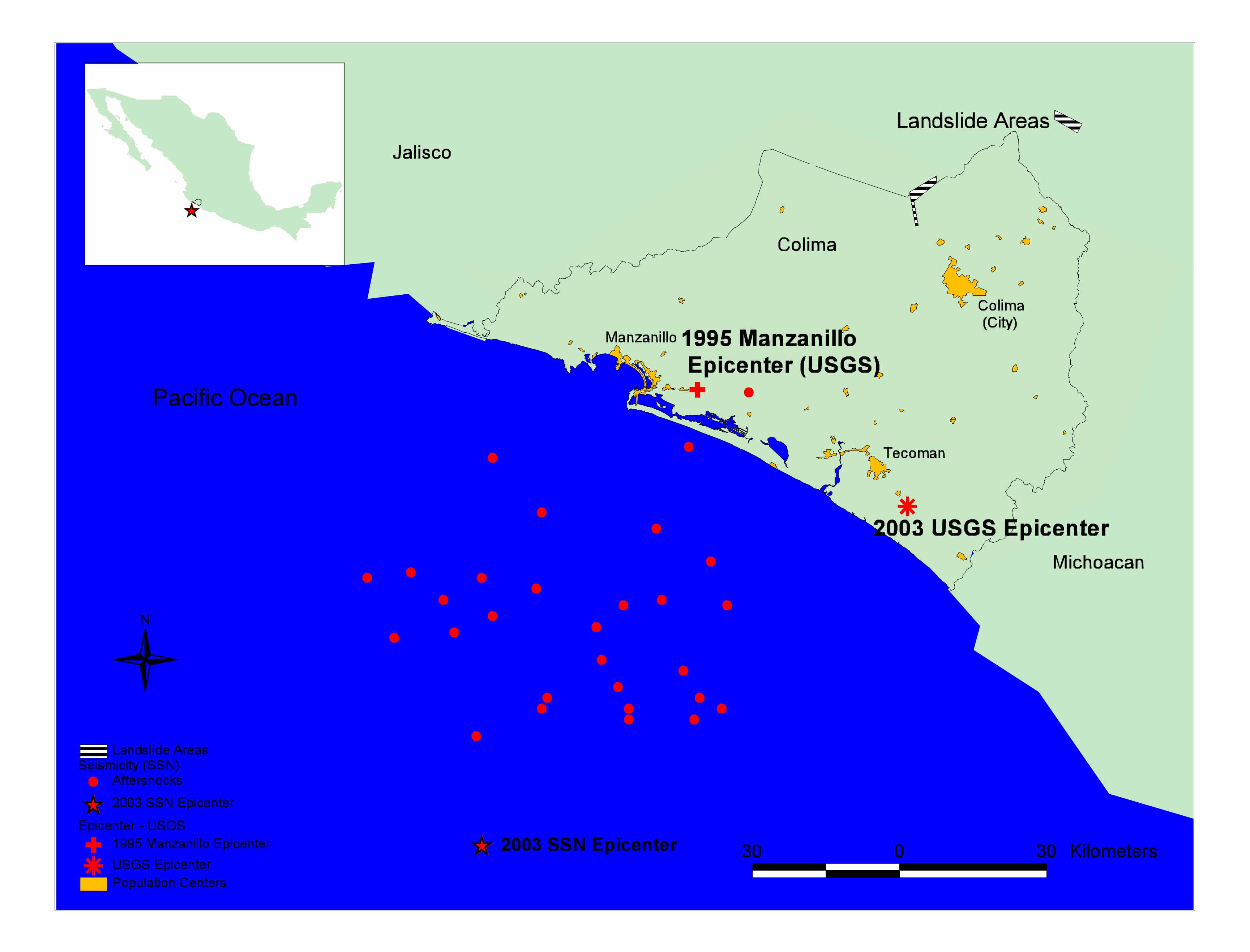
On Tuesday January 21, at 8:06 pm local time, a strong earthquake shook the coastal region of the state of Colima, Mexico. The earthquake was strongly felt in the states of Colima, Jalisco and Michoacán. The effects of the earthquake were also felt in Mexico City. The reported magnitude varies from Mw 7.4 (Harvard CMT) to Mw 7.6 (USGS). The National Science Foundation-sponsored reconnaissance team carried out a basic evaluation of the geotechnical engineering aspects of the earthquake, focusing on soil liquefaction, landslides and apparent site effects . The team visited the municipalities of Manzanillo, Tecomán, Colima and neighboring Villa de Álvarez, whose locations are shown in Figure 1. The major roadways connecting these urban centers were also traveled. Several members of the geotechnical engineering team also conducted an aerial reconnaissance of state of Colima and parts of the neighboring state of Jalisco. A second Earthquake Engineering Research Institute (EERI)-sponsored structural engineering reconnaissance team also visited the region shortly after the earthquake. The preliminary findings of the structural engineering reconnaissance team may as well as additional information about the earthquake may be found on the EERI web site . The effects of the earthquake are as follows: · 21 confirmed dead by government officials (press reports indicate that 30 have died) · 500+ injured (this a very uncertain figure since there has not been a systematic collection and confirmation of the number of persons injured). · 13,493 residential structures have been reported of suffering some level of damage. Many of these reports have come from public surveys of rapid visual inspections. These reports then serve as the basis for assigning inspectors organized and trained by the Colima College of Architects and Civil Engineers. (In Mexico, the term "College" is equivalent to "Association"). · Of the 13,493 structures reported, 11,009 have been inspected with the following official results: - 2,728 total damage - 4,150 partial damage - 4,131 safe for occupancy · 56 disaster assistance centers have been established by the military to provide food, shelter, medical assistance and public information. · 600 structures housing medium to small business suffered some level of damage. These figures were confirmed by State Civil Protection authorities, although they cautioned that the number of structures damaged will most likely increase as further safety inspections are conducted. There are several towns that have not been inspected yet. |
|
|
Figure 1.
Overview Map of Region. |