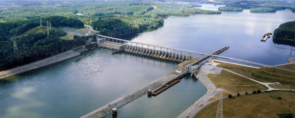
2018 Tennessee Earthquake
Event Date :
12-12-2018
Location :
Decatur, Tennessee
Report Date :
04-04-2019
Event Category:
Earthquake
EQ Magnitude :
M4.4
Report Number:
GEER-062
DOI:
doi:10.18118/G6ZD3J
Event Latitude:
35.612
Event Longitude:
-84.732
Team:
| Tim Siegel |
Collaborators:
Timothy C. Siegel, Glenn J. Rix, Missy Setz, Shahram Pezeshk
Contributors:
Robert D. Hatcher, Alexia R. Leib, Mark R. Madgett
Summary:
On December 12, 2018 at 4:14am EST, a moment magnitude (Mw) 4.4 earthquake occurred approximately 12 kilometers North-Northeast of Decatur, Tennessee(TN) (Latitude: 35.612°N Longitude: 84.732°W), which is roughly 240 kilometers southeast of Nashville, TN. Fifty-two instrumentation stations detected the earthquake ground motion as far as 485 kilometers away in Memphis, TN. The closest station (23 kilometers from the epicenter) at the Tennessee Technology Center in Athens, TN recorded a peak ground acceleration (PGA) of .0119g and a peak ground velocity (PGV) of 0.34cm/s. The highest recorded PGA was 0.0215g at the Dayton, TN station which is approximately 36 km from the epicenter. As of December 18, 2018,at least 21 aftershocks followed the December 12, 2018earthquake.
File Upload :
| File Title | File Version | File Date | File Type |
|---|---|---|---|
| Full Report | Version 1 | 04-04-2019 |
PDF
|
The work of the GEER Association, in general, is based upon work supported in part by the National Science Foundation through the Geotechnical Engineering Program under Grant No. CMMI-1266418. Any opinions, findings, and conclusions or recommendations expressed in this material are those of the authors and do not necessarily reflect the views of the NSF. The GEER Association is made possible by the vision and support of the NSF Geotechnical Engineering Program Directors: Dr. Richard Fragaszy and the late Dr. Cliff Astill. GEER members also donate their time, talent, and resources to collect time-sensitive field observations of the effects of extreme events.


